
南广阳城村 topographic map
Interactive map
Click on the map to display elevation.
About this map
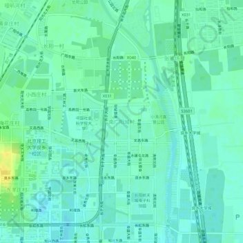
Name: 南广阳城村 topographic map, elevation, terrain.
Location: 南广阳城村, 房山区, 北京市, 102442, 中国 (39.71893 116.16186 39.75893 116.20186)
Average elevation: 45 m
Minimum elevation: 39 m
Maximum elevation: 59 m
Other topographic maps
Click on a map to view its topography, its elevation and its terrain.