
镇江营村 topographic map
Interactive map
Click on the map to display elevation.
About this map
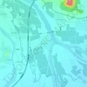
Name: 镇江营村 topographic map, elevation, terrain.
Location: 镇江营村, 房山区, 北京市, 中国 (39.50830 115.73108 39.54830 115.77108)
Average elevation: 84 m
Minimum elevation: 66 m
Maximum elevation: 251 m
Other topographic maps
Click on a map to view its topography, its elevation and its terrain.