
树正 topographic map
Interactive map
Click on the map to display elevation.
About this map
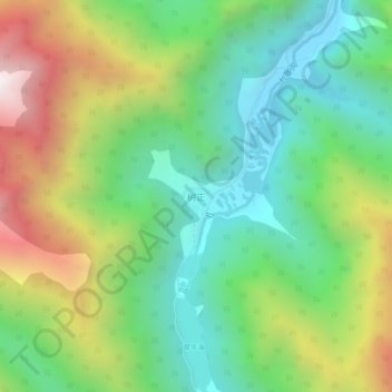
Name: 树正 topographic map, elevation, terrain.
Location: 树正, 九寨沟县, 阿坝藏族羌族自治州, 四川省, 中国 (33.18095 103.87294 33.22095 103.91294)
Average elevation: 2,741 m
Minimum elevation: 2,190 m
Maximum elevation: 3,724 m
Other topographic maps
Click on a map to view its topography, its elevation and its terrain.