
彭丰 topographic map
Interactive map
Click on the map to display elevation.
About this map
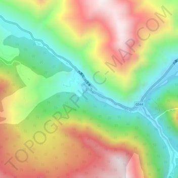
Name: 彭丰 topographic map, elevation, terrain.
Location: 彭丰, 九寨沟县, 阿坝藏族羌族自治州, 四川省, 623402, 中国 (33.25335 103.88282 33.29335 103.92282)
Average elevation: 2,468 m
Minimum elevation: 1,989 m
Maximum elevation: 3,058 m
Other topographic maps
Click on a map to view its topography, its elevation and its terrain.