
盈江县 topographic map
Interactive map
Click on the map to display elevation.
About this map
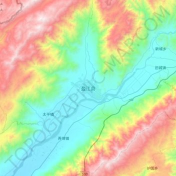
Name: 盈江县 topographic map, elevation, terrain.
Location: 盈江县, 德宏傣族景颇族自治州, 云南省, 665000, 中国 (24.54844 97.77172 24.86844 98.09172)
Average elevation: 1,428 m
Minimum elevation: 794 m
Maximum elevation: 2,654 m
Other topographic maps
Click on a map to view its topography, its elevation and its terrain.