
客路镇 topographic map
Interactive map
Click on the map to display elevation.
About this map
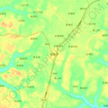
Name: 客路镇 topographic map, elevation, terrain.
Location: 客路镇, 湛江市, 广东省, 中国 (21.05118 109.96407 21.13118 110.04407)
Average elevation: 28 m
Minimum elevation: 11 m
Maximum elevation: 41 m
Other topographic maps
Click on a map to view its topography, its elevation and its terrain.