
云头村 topographic map
Interactive map
Click on the map to display elevation.
About this map
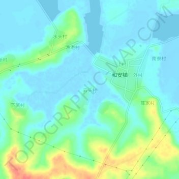
Name: 云头村 topographic map, elevation, terrain.
Location: 云头村, 湛江市, 广东省, 中国 (20.61057 110.34836 20.65057 110.38836)
Average elevation: 13 m
Minimum elevation: -6 m
Maximum elevation: 51 m