
庄里镇 topographic map
Interactive map
Click on the map to display elevation.
About this map
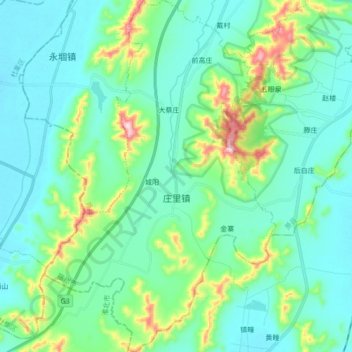
Name: 庄里镇 topographic map, elevation, terrain.
Location: 庄里镇, 萧县, 宿州市, 安徽省, 中国 (33.93813 116.95222 34.08097 117.06570)
Average elevation: 100 m
Minimum elevation: 29 m
Maximum elevation: 387 m
Other topographic maps
Click on a map to view its topography, its elevation and its terrain.