
大曹庄 topographic map
Interactive map
Click on the map to display elevation.
About this map
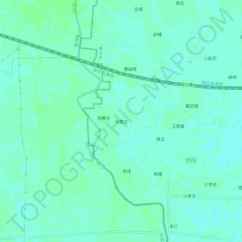
Name: 大曹庄 topographic map, elevation, terrain.
Location: 大曹庄, 大屯镇, 萧县, 宿州市, 安徽省, 中国 (34.18199 116.52678 34.22199 116.56678)
Average elevation: 41 m
Minimum elevation: 37 m
Maximum elevation: 44 m
Other topographic maps
Click on a map to view its topography, its elevation and its terrain.