
白土镇 topographic map
Interactive map
Click on the map to display elevation.
About this map
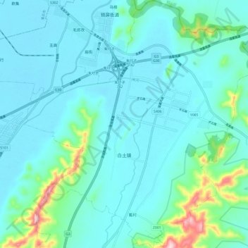
Name: 白土镇 topographic map, elevation, terrain.
Location: 白土镇, 萧县, 宿州市, 安徽省, 中国 (34.05769 116.98769 34.15633 117.09730)
Average elevation: 78 m
Minimum elevation: 32 m
Maximum elevation: 353 m
Other topographic maps
Click on a map to view its topography, its elevation and its terrain.