
洋坑 topographic map
Interactive map
Click on the map to display elevation.
About this map
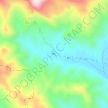
Name: 洋坑 topographic map, elevation, terrain.
Location: 洋坑, 南平市, 福建省, 中国 (27.62382 118.15252 27.66382 118.19252)
Average elevation: 427 m
Minimum elevation: 227 m
Maximum elevation: 795 m
Other topographic maps
Click on a map to view its topography, its elevation and its terrain.