
富屯溪 topographic map
Interactive map
Click on the map to display elevation.
About this map
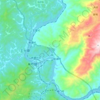
Name: 富屯溪 topographic map, elevation, terrain.
Location: 富屯溪, 南平市, 延平区, 南平市, 福建省, 中国 (26.57809 117.97070 26.70216 118.03258)
Average elevation: 339 m
Minimum elevation: 74 m
Maximum elevation: 1,331 m
Other topographic maps
Click on a map to view its topography, its elevation and its terrain.