
建瓯市 topographic map
Interactive map
Click on the map to display elevation.
About this map
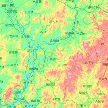
Name: 建瓯市 topographic map, elevation, terrain.
Location: 建瓯市, 南平市, 福建省, 中国 (26.64860 117.97974 27.33914 118.95419)
Average elevation: 501 m
Minimum elevation: 57 m
Maximum elevation: 1,778 m
Other topographic maps
Click on a map to view its topography, its elevation and its terrain.