
桂地村 topographic map
Interactive map
Click on the map to display elevation.
About this map
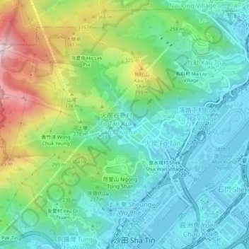
Name: 桂地村 topographic map, elevation, terrain.
Location: 桂地村, 沙田區, 新界, 香港, 中国 (22.38006 114.16879 22.42006 114.20879)
Average elevation: 170 m
Minimum elevation: -4 m
Maximum elevation: 607 m
Other topographic maps
Click on a map to view its topography, its elevation and its terrain.