
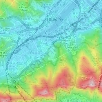
沙田頭新村 topographic map
Interactive map
Click on the map to display elevation.
About this map
Name: 沙田頭新村 topographic map, elevation, terrain.
Location: 沙田頭新村, 隔田村, 沙田區, 新界, 香港, 000000, 中国 (22.34904 114.16917 22.38904 114.20917)
Average elevation: 135 m
Minimum elevation: -4 m
Maximum elevation: 475 m