
火炭 topographic map
Interactive map
Click on the map to display elevation.
About this map
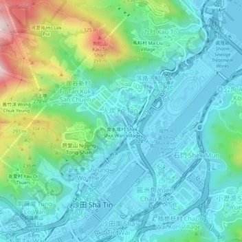
Name: 火炭 topographic map, elevation, terrain.
Location: 火炭, 火炭村, 禾寮坑村, 沙田區, 新界, 香港, 中国 (22.37527 114.17556 22.41527 114.21556)
Average elevation: 102 m
Minimum elevation: -4 m
Maximum elevation: 463 m