
雄关街道 topographic map
Interactive map
Click on the map to display elevation.
About this map
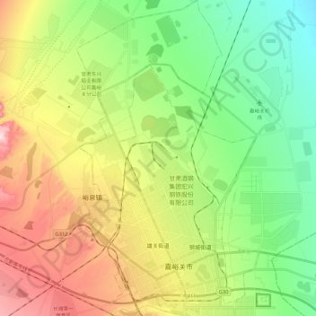
Name: 雄关街道 topographic map, elevation, terrain.
Location: 雄关街道, 嘉峪关市, 甘肃省, 中国 (39.74637 98.21958 39.90933 98.31777)
Average elevation: 1,633 m
Minimum elevation: 1,500 m
Maximum elevation: 1,847 m
Other topographic maps
Click on a map to view its topography, its elevation and its terrain.