
黄山风景区 topographic map
Interactive map
Click on the map to display elevation.
About this map
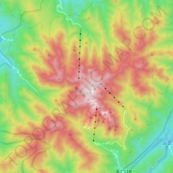
Name: 黄山风景区 topographic map, elevation, terrain.
Location: 黄山风景区, 黄山区, 黄山市, 安徽省, 中国 (30.08382 118.10055 30.19251 118.22146)
Average elevation: 942 m
Minimum elevation: 276 m
Maximum elevation: 1,810 m
Other topographic maps
Click on a map to view its topography, its elevation and its terrain.