
云阳县 topographic map
Interactive map
Click on the map to display elevation.
About this map
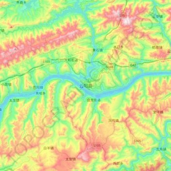
Name: 云阳县 topographic map, elevation, terrain.
Location: 云阳县, 渝东北三峡库区城镇群, 重庆市, 中国 (30.77282 108.53209 31.09282 108.85209)
Average elevation: 483 m
Minimum elevation: 86 m
Maximum elevation: 1,151 m
Other topographic maps
Click on a map to view its topography, its elevation and its terrain.