
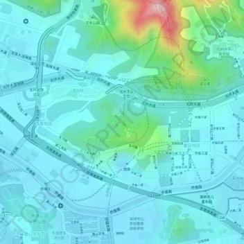
安托山 topographic map
Interactive map
Click on the map to display elevation.
About this map
Name: 安托山 topographic map, elevation, terrain.
Location: 安托山, 沙河街道, 南山区, 深圳市, 广东省, 518000, 中国 (22.55062 113.98558 22.55720 113.99706)
Average elevation: 64 m
Minimum elevation: 13 m
Maximum elevation: 314 m
Other topographic maps
Click on a map to view its topography, its elevation and its terrain.