
南山街道 topographic map
Interactive map
Click on the map to display elevation.
About this map
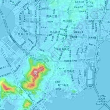
Name: 南山街道 topographic map, elevation, terrain.
Location: 南山街道, 南山区, 深圳市, 广东省, 518000, 中国 (22.47349 113.86196 22.55044 113.92460)
Average elevation: 15 m
Minimum elevation: -10 m
Maximum elevation: 318 m
Other topographic maps
Click on a map to view its topography, its elevation and its terrain.