
南开乡 topographic map
Interactive map
Click on the map to display elevation.
About this map
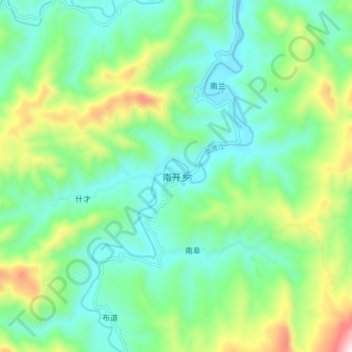
Name: 南开乡 topographic map, elevation, terrain.
Location: 南开乡, 白沙黎族自治县, 海南省, 中国 (19.03942 109.36999 19.11942 109.44999)
Average elevation: 422 m
Minimum elevation: 228 m
Maximum elevation: 927 m
Other topographic maps
Click on a map to view its topography, its elevation and its terrain.