
打安镇 topographic map
Interactive map
Click on the map to display elevation.
About this map
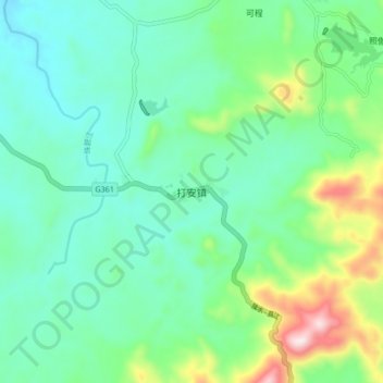
Name: 打安镇 topographic map, elevation, terrain.
Location: 打安镇, 白沙黎族自治县, 海南省, 中国 (19.24535 109.32854 19.32535 109.40854)
Average elevation: 251 m
Minimum elevation: 128 m
Maximum elevation: 622 m
Other topographic maps
Click on a map to view its topography, its elevation and its terrain.