
瓦卡镇 topographic map
Interactive map
Click on the map to display elevation.
About this map
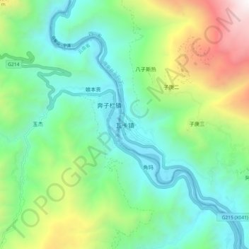
Name: 瓦卡镇 topographic map, elevation, terrain.
Location: 瓦卡镇, 得荣县, 甘孜藏族自治州, 四川省, 627900, 中国 (28.19707 99.26773 28.27707 99.34773)
Average elevation: 2,687 m
Minimum elevation: 1,977 m
Maximum elevation: 4,488 m
Other topographic maps
Click on a map to view its topography, its elevation and its terrain.