
Yamalo-Nenets Autonomous Okrug topographic map
Interactive map
Click on the map to display elevation.
About this map
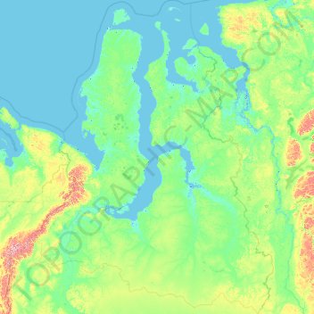
Name: Yamalo-Nenets Autonomous Okrug topographic map, elevation, terrain.
Location: Yamalo-Nenets Autonomous Okrug, Ural Federal District, Russia (62.19566 62.00044 73.72176 86.00729)
Average elevation: 69 m
Minimum elevation: -4 m
Maximum elevation: 1,549 m
Other topographic maps
Click on a map to view its topography, its elevation and its terrain.
Водолазово
Russia > Tyumen Oblast > Тушнолобовское сельское поселение > Водолазово
Average elevation: 74 m
Максимова
Russia > Tyumen Oblast > Тушнолобовское сельское поселение > Максимова
Average elevation: 75 m
Primorsky Krai
Highlands dominate the territory of the krai. Most of the territory is mountainous, and almost 80% of it is forested. The average elevation is about 500 meters (1,600 ft). Sikhote-Alin is a mountainous formation, extending for the most part of the Krai. It consists of a number of parallel ranges: the…
Average elevation: 255 m