
Kamchatka Krai topographic map
Interactive map
Click on the map to display elevation.
About this map
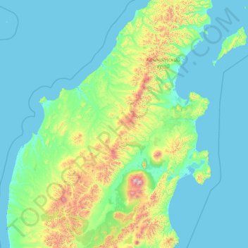
Name: Kamchatka Krai topographic map, elevation, terrain.
Location: Kamchatka Krai, Far Eastern Federal District, Russia (54.63149 157.47838 59.75149 162.59838)
Average elevation: 224 m
Minimum elevation: -4 m
Maximum elevation: 4,407 m