
滨湖世纪社区 topographic map
Interactive map
Click on the map to display elevation.
About this map
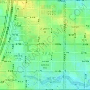
Name: 滨湖世纪社区 topographic map, elevation, terrain.
Location: 滨湖世纪社区, 滨湖新区, 包河区, 合肥市, 安徽省, 中国 (31.72660 117.28078 31.75810 117.29678)
Average elevation: 19 m
Minimum elevation: 8 m
Maximum elevation: 30 m
Other topographic maps
Click on a map to view its topography, its elevation and its terrain.