
中心花园 topographic map
Interactive map
Click on the map to display elevation.
About this map
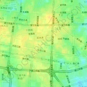
Name: 中心花园 topographic map, elevation, terrain.
Location: 中心花园, 吴夹弄, 常青街道, 包河区, 合肥市, 安徽省, 中国 (31.82419 117.27550 31.82474 117.27673)
Average elevation: 35 m
Minimum elevation: 21 m
Maximum elevation: 45 m