
大圩镇 topographic map
Interactive map
Click on the map to display elevation.
About this map
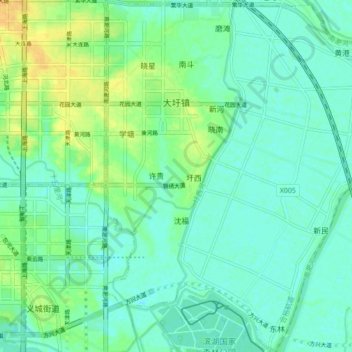
Name: 大圩镇 topographic map, elevation, terrain.
Location: 大圩镇, 包河区, 合肥市, 安徽省, 中国 (31.72294 117.35240 31.79655 117.42635)
Average elevation: 11 m
Minimum elevation: 3 m
Maximum elevation: 28 m
Other topographic maps
Click on a map to view its topography, its elevation and its terrain.