
西枝江 topographic map
Interactive map
Click on the map to display elevation.
About this map
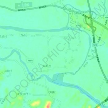
Name: 西枝江 topographic map, elevation, terrain.
Location: 西枝江, 惠阳区, 惠州市, 广东省, 中国 (23.01532 114.58765 23.03597 114.63129)
Average elevation: 18 m
Minimum elevation: 3 m
Maximum elevation: 63 m
Other topographic maps
Click on a map to view its topography, its elevation and its terrain.