
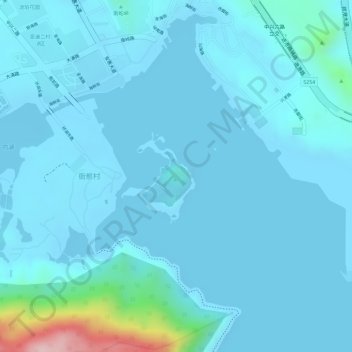
潮洲岛 topographic map
Interactive map
Click on the map to display elevation.
About this map
Name: 潮洲岛 topographic map, elevation, terrain.
Location: 潮洲岛, 惠州大亚湾经济技术开发区, 惠阳区, 惠州市, 广东省, 中国 (22.70057 114.53222 22.70733 114.53838)
Average elevation: 23 m
Minimum elevation: -3 m
Maximum elevation: 255 m
Other topographic maps
Click on a map to view its topography, its elevation and its terrain.