
顺峰山公园 topographic map
Interactive map
Click on the map to display elevation.
About this map
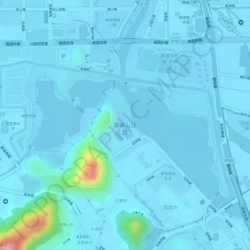
Name: 顺峰山公园 topographic map, elevation, terrain.
Location: 顺峰山公园, 旧寨村, 顺德区, 佛山市, 广东省, 中国 (22.81275 113.26922 22.83056 113.29428)
Average elevation: 10 m
Minimum elevation: -3 m
Maximum elevation: 157 m