
南江村 topographic map
Interactive map
Click on the map to display elevation.
About this map
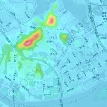
Name: 南江村 topographic map, elevation, terrain.
Location: 南江村, 大良街道, 顺德区, 佛山市, 广东省, 528300, 中国 (22.78441 113.25790 22.82441 113.29790)
Average elevation: 10 m
Minimum elevation: -9 m
Maximum elevation: 157 m
Other topographic maps
Click on a map to view its topography, its elevation and its terrain.