
樊哙 topographic map
Interactive map
Click on the map to display elevation.
About this map
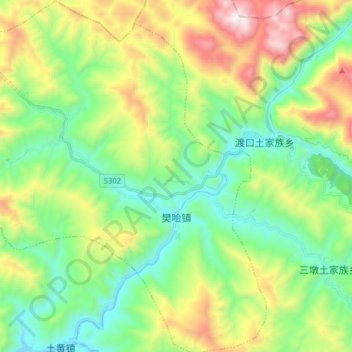
Name: 樊哙 topographic map, elevation, terrain.
Location: 樊哙, 宣汉县, 达州市, 四川省, 中国 (31.58545 108.12272 31.72037 108.28099)
Average elevation: 850 m
Minimum elevation: 417 m
Maximum elevation: 1,738 m
Other topographic maps
Click on a map to view its topography, its elevation and its terrain.