
芭蕉镇 topographic map
Interactive map
Click on the map to display elevation.
About this map
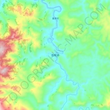
Name: 芭蕉镇 topographic map, elevation, terrain.
Location: 芭蕉镇, 宣汉县, 达州市, 四川省, 中国 (31.24590 107.82506 31.32590 107.90506)
Average elevation: 559 m
Minimum elevation: 367 m
Maximum elevation: 1,021 m
Other topographic maps
Click on a map to view its topography, its elevation and its terrain.