
三河乡 topographic map
Interactive map
Click on the map to display elevation.
About this map
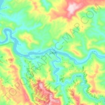
Name: 三河乡 topographic map, elevation, terrain.
Location: 三河乡, 宣汉县, 达州市, 四川省, 中国 (31.32279 107.76838 31.40279 107.84838)
Average elevation: 474 m
Minimum elevation: 312 m
Maximum elevation: 760 m
Other topographic maps
Click on a map to view its topography, its elevation and its terrain.