
古巷镇 topographic map
Interactive map
Click on the map to display elevation.
About this map
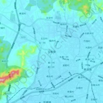
Name: 古巷镇 topographic map, elevation, terrain.
Location: 古巷镇, 潮州市, 广东省, 521031, 中国 (23.62458 116.52991 23.70458 116.60991)
Average elevation: 24 m
Minimum elevation: 3 m
Maximum elevation: 297 m
Other topographic maps
Click on a map to view its topography, its elevation and its terrain.