
吉利村 topographic map
Interactive map
Click on the map to display elevation.
About this map
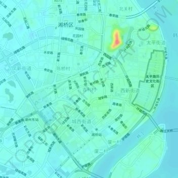
Name: 吉利村 topographic map, elevation, terrain.
Location: 吉利村, 潮州市, 广东省, 521000, 中国 (23.64296 116.60983 23.68296 116.64983)
Average elevation: 13 m
Minimum elevation: 3 m
Maximum elevation: 71 m
Other topographic maps
Click on a map to view its topography, its elevation and its terrain.