
后山村 topographic map
Interactive map
Click on the map to display elevation.
About this map
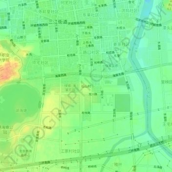
Name: 后山村 topographic map, elevation, terrain.
Location: 后山村, 婺城区, 金华市, 浙江省, 321000, 中国 (29.03972 119.63467 29.07972 119.67467)
Average elevation: 46 m
Minimum elevation: 29 m
Maximum elevation: 70 m
Other topographic maps
Click on a map to view its topography, its elevation and its terrain.