
城中街道 topographic map
Interactive map
Click on the map to display elevation.
About this map
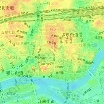
Name: 城中街道 topographic map, elevation, terrain.
Location: 城中街道, 婺城区, 金华市, 浙江省, 中国 (29.09904 119.64560 29.11616 119.65653)
Average elevation: 48 m
Minimum elevation: 29 m
Maximum elevation: 65 m
Other topographic maps
Click on a map to view its topography, its elevation and its terrain.