
东里 topographic map
Interactive map
Click on the map to display elevation.
About this map
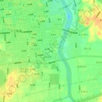
Name: 东里 topographic map, elevation, terrain.
Location: 东里, 婺城区, 金华市, 浙江省, 321000, 中国 (29.04683 119.64289 29.08683 119.68289)
Average elevation: 45 m
Minimum elevation: 28 m
Maximum elevation: 61 m
Other topographic maps
Click on a map to view its topography, its elevation and its terrain.