
东涌镇 topographic map
Interactive map
Click on the map to display elevation.
About this map
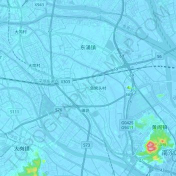
Name: 东涌镇 topographic map, elevation, terrain.
Location: 东涌镇, 南沙新区, 南沙区, 广州市, 广东省, 中国 (22.79818 113.35645 22.91105 113.50551)
Average elevation: 3 m
Minimum elevation: -12 m
Maximum elevation: 198 m
Other topographic maps
Click on a map to view its topography, its elevation and its terrain.