
横沥镇 topographic map
Interactive map
Click on the map to display elevation.
About this map
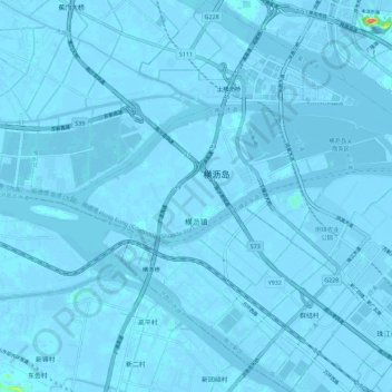
Name: 横沥镇 topographic map, elevation, terrain.
Location: 横沥镇, 南沙新区, 南沙区, 广州市, 广东省, 中国 (22.68914 113.44171 22.79367 113.55510)
Average elevation: 0 m
Minimum elevation: -7 m
Maximum elevation: 76 m
Other topographic maps
Click on a map to view its topography, its elevation and its terrain.