
榄核镇 topographic map
Interactive map
Click on the map to display elevation.
About this map
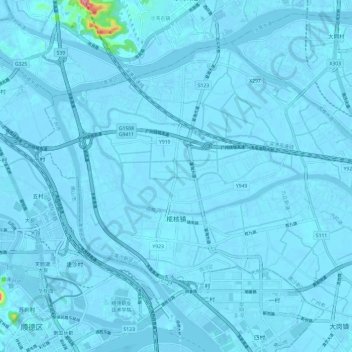
Name: 榄核镇 topographic map, elevation, terrain.
Location: 榄核镇, 南沙区, 广州市, 广东省, 中国 (22.81248 113.29095 22.89687 113.41101)
Average elevation: 3 m
Minimum elevation: -8 m
Maximum elevation: 158 m
Other topographic maps
Click on a map to view its topography, its elevation and its terrain.