
祠山街道 topographic map
Interactive map
Click on the map to display elevation.
About this map
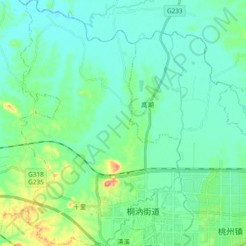
Name: 祠山街道 topographic map, elevation, terrain.
Location: 祠山街道, 广德市, 宣城市, 安徽省, 中国 (30.88023 119.34539 30.99377 119.43305)
Average elevation: 39 m
Minimum elevation: 16 m
Maximum elevation: 129 m
Other topographic maps
Click on a map to view its topography, its elevation and its terrain.