
邱村镇 topographic map
Interactive map
Click on the map to display elevation.
About this map
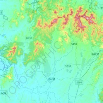
Name: 邱村镇 topographic map, elevation, terrain.
Location: 邱村镇, 广德市, 宣城市, 安徽省, 中国 (30.95157 119.28158 31.20097 119.49736)
Average elevation: 99 m
Minimum elevation: 11 m
Maximum elevation: 544 m
Other topographic maps
Click on a map to view its topography, its elevation and its terrain.