
曼旦 topographic map
Interactive map
Click on the map to display elevation.
About this map
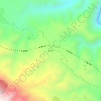
Name: 曼旦 topographic map, elevation, terrain.
Location: 曼旦, 玉溪市, 云南省, 中国 (23.66292 101.83064 23.70292 101.87064)
Average elevation: 770 m
Minimum elevation: 397 m
Maximum elevation: 1,355 m
Other topographic maps
Click on a map to view its topography, its elevation and its terrain.