
漠沙镇 topographic map
Interactive map
Click on the map to display elevation.
About this map
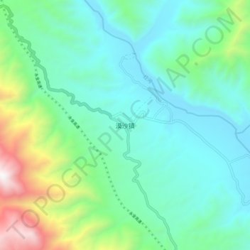
Name: 漠沙镇 topographic map, elevation, terrain.
Location: 漠沙镇, 玉溪市, 云南省, 中国 (23.80309 101.68517 23.88309 101.76517)
Average elevation: 818 m
Minimum elevation: 436 m
Maximum elevation: 2,104 m
Other topographic maps
Click on a map to view its topography, its elevation and its terrain.