
高寨下 topographic map
Interactive map
Click on the map to display elevation.
About this map
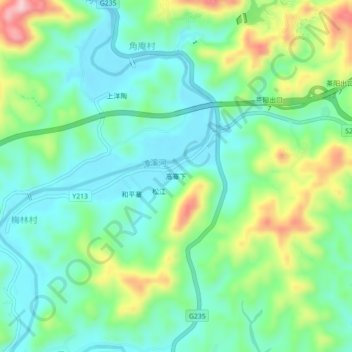
Name: 高寨下 topographic map, elevation, terrain.
Location: 高寨下, 大埔县, 梅州市, 广东省, 中国 (24.46612 116.67432 24.50612 116.71432)
Average elevation: 118 m
Minimum elevation: 51 m
Maximum elevation: 275 m
Other topographic maps
Click on a map to view its topography, its elevation and its terrain.