
中村 topographic map
Interactive map
Click on the map to display elevation.
About this map
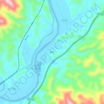
Name: 中村 topographic map, elevation, terrain.
Location: 中村, 大埔县, 梅州市, 广东省, 中国 (24.44547 116.62153 24.48547 116.66153)
Average elevation: 109 m
Minimum elevation: 43 m
Maximum elevation: 342 m
Other topographic maps
Click on a map to view its topography, its elevation and its terrain.